A great circular walk to one of Wharfedale’s favourite walking destinations.
We've visited Simon's Seat several times over the years taking different variations on this 8.5 mile route. Whilst the climb can test your lungs the views from the top are well worth the effort.
For this walk we were lucky to be in the middle of a heatwave so made an early start to avoid the scorching mid-afternoon temperatures. This also allowed us to have the pick of the parking. We parked up at the Riverbank car park (here), you can pay by machine, app or at the Riverside cafe itself.
Once we had booted up and checked our cameras we were ready to set off. As you will see from the map the route is fairly straight forward with good paths and signage throughout. The first stage follows the riverbank towards Howgill. Simply cross over the bridge and pick up the well trodden path along the river Wharfe.
After a couple of miles you leave the river and follow the signs for Howgill, it is here that you start your 1500ft ascent upto Barden Fell. There is a path that zig zags through the forest plantation or a another straight up. We decided to take the latter - harder but quicker route. Despite stopping several times to catch my breath the old adage of "slow and steady wins the race" was proven and we were soon onto Barden Fell within 30 minutes.
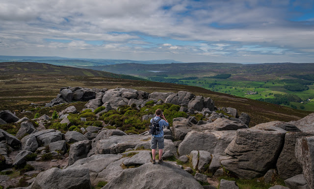
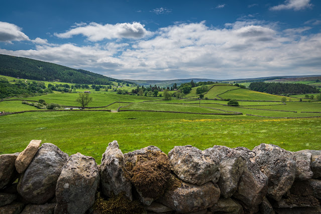
Once on the fell the path, and climb to Simon's Seat itself is much easier - all along this stretch you are rewarded with beautiful views across to Appletreewick, Burnsall and beyond. These views are just to whet your appetite before the spectacular views from Simon's Seat.
Once you arrive at Simon's Seat it's worth taken a break to let your legs and lungs recover but also to appreciate the sheer beauty of the 360 degree views presented to you. There are two main outcrops of millstone grit one slightly larger than the other. The larger outcrop supports a trig point, a great place to enjoy a sandwich and the view.
After a throughly enjoyable 20 minutes or so and with legs refreshed it's time to start our descent and our route back to Burnsall.
We descend on the newly renovated path towards High Skyreholme. Like our ascent our route down zig zags the fell until you briefly hit the road at Dalehead Farm, here the public path takes you across the fields to High Skyreholme.
It is here where you pick up the road to Appletreewick. Following the road for about 1 mile you soon enter Appletreewick. The village is mentioned in the Domesday Book and has a population of around 200. It boasts some picturesque houses and is also an opportunity to quench your thirst with two pubs at either end of the village.
At the very end of the village is campsite where a path takes you back to the banks of the river Wharfe. You are now back on familiar ground and the path you started on but this time heading back into Burnsall.
After a short one and half miles you are back at the start point.
[Map] [Suggested Parking] [Download GPX File] [Subscribe]
[Subscribe and Get Notifications of new Walks as they are added]


Comments
Post a Comment